Case Study
City of Rosario Planning Department
An interactive decision environment for shaping the planning & policy metrics behind a riverfront tower development.
Project Overview
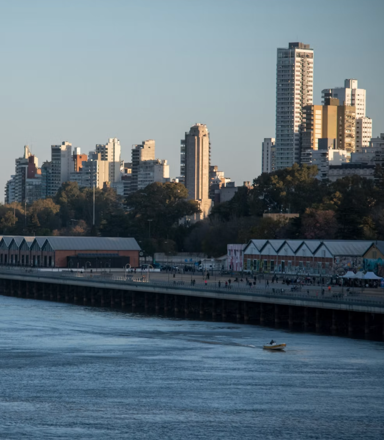
The Planning Department of Rosario, Argentina, is guiding the redevelopment of the city's central riverfront along the Paraná, including a mixed-use residential tower development on a 1.6-acre waterfront parcel. In the current planning process, the department drafts policies and tests metrics to set how much a developer can build and what public benefits the city receives in return, from open space and vegetation to ground-floor retail and pedestrian connections. These metrics are interdependent, making their combined effects on a site hard to read directly.
TangiblEmpact worked with the department to develop a decision platform to give these early planning decisions an intuitive and efficient workflow. Rather than settling these metrics through calculation one by one, planners could test parameters directly on the parcel, see the impacts of each set of configurations, and iterate quickly toward one that met the city's goals while holding the developer's financial feasibility in view. A resolved scenario then became material the department could carry into developer conversations and planning council meetings.
The Challenge
The difficulty in this stage is not from any single metric, but the way they move and compile together. Each metric is clear on its own: public space requirement, vegetation target, retail allocation. But under the real constraints of a physical parcel, the trade-offs behind conflicting metrics are hard to surface. The city has to deliver public benefits and fiscal outcomes while keeping the project viable for the developer. Any shift in metric can ripple through the rest, making the early planning stage slow and hard to navigate.
Long cycles to converge
Finding a set of parameters that hold together takes repeated rounds of calculation and redrawing, stretching the timeline to reach these planning decisions
Conflicts surface late
Requirements that look compatible on paper collide only once combined on the parcel. It often takes more time to resolve these conflicts later in the project.
Slow to communicate
The planning departments, council, and developers communicate with static proposals and data sheets. With every revision, development scenarios had to be rebuilt from scratch manually, causing delays to the whole communication process.
The Solution
TangiblEmpact developed an interactive planning environment to work through these interconnected decisions. Planners set the goals and constraints for the parcel, build massing directly on the site, and see immediately whether a given configuration met the targets they have set. The platform shows how each choice is resolved on the parcel and where requirements collide. A configuration that holds together is then carried forward as a formatted memo and a 3D view, which the department can bring to its conversations with developers, other departments, and the planning council.
“Even at this early stage, being able to adjust the parameters in our development policy and see the result right away changes how we work through a proposal. What used to take several rounds of redrawing now can happen in one sitting.”
Gonzalo Montoya
Urban Development General Coordinator, City of Rosario, Argentina
What Changed
Before the pilot, the department resolved these questions through manual calculation, redrawing the site each time a parameter changed. The environment gave that work a faster and more legible path from a set of interdependent targets to a proposal the team could stand behind.
Faster Early Decisions
The team explored policy and zoning metrics across several scenarios in one place, reaching a workable configuration far faster than separate calculations and drawings allowed.
Conflicts Seen Before They Cost
Overlapping requirements that once emerged only after a plan was drawn now surfaced as each scenario took shape.
A Spatial View of the Metrics
Green space, public space, and circulation could be read together on the parcel rather than inferred from numbers.
Communication Material Support
A resolved scenario carried directly into a memo and a 3D view, giving the department clear material to bring to developers, other departments, and the council.